The Niscemi landslide: from mapped risk to 3D modelling and stability analyses
An integrated approach: GeoRisk for hazard, GeoStru Maps for the three-dimensional reconstruction, Slope (LEM+DEM) for 2D/3D stability and Debris Flow for rapid phenomena.
Why this event matters
The Niscemi landslide shows how much risk management requires tools able to move from hazard mapping to 3D modelling and to geotechnical analyses (slope stability and possible rapid evolutions).
GeoRisk
GeoStru Maps
Slope
Debris Flow
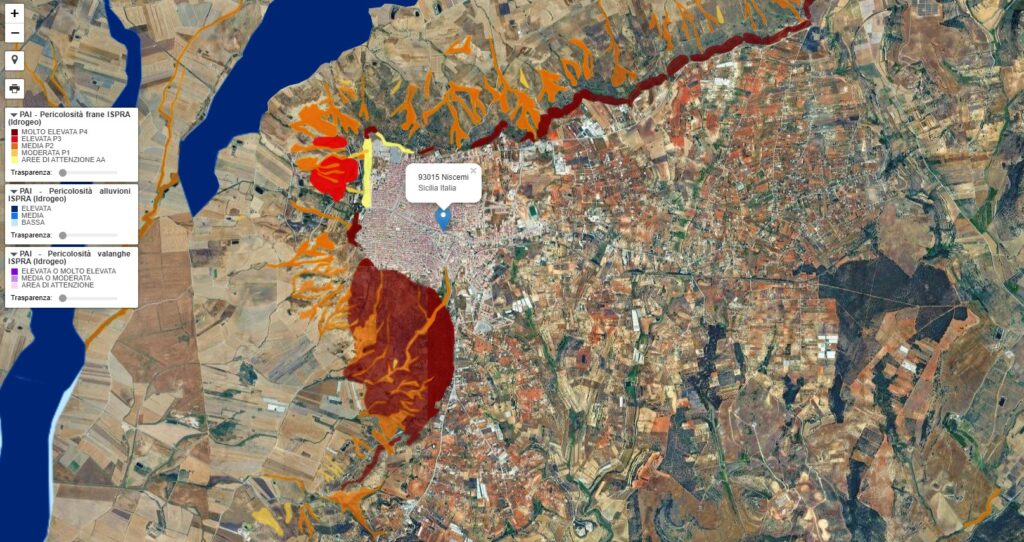
1) Mapping hazard and risk with GeoRisk
Mapping is the first step: it frames the event in its territorial context and correlates landslide hazard, hydrogeological risk and seismic hazard.
- quick reading of the PAI (hydrogeological plan) areas
- overlay with urbanised areas
- support for priorities and planning
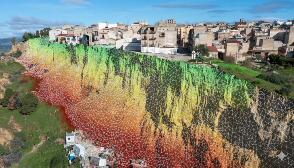
2) From the territory to 3D with GeoStru Maps
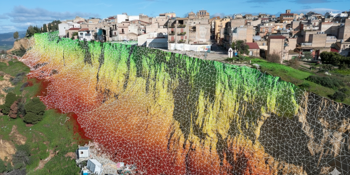
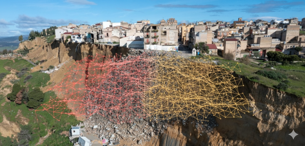
Once the critical area is defined, the three-dimensional reconstruction correctly describes scarps, detachment niches and unstable volumes. The triangular 3D mesh becomes a solid basis for the analyses. Triangular 3D mesh (TIN)
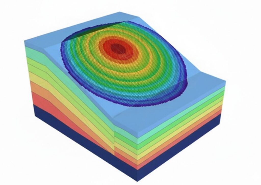
3) Stability and large displacements with Slope (LEM + DEM)
For complex cases, in addition to limit equilibrium (LEM) checks, it can be useful to study the evolution of the phenomenon with a discrete element (DEM) approach, particularly suited to large displacements and fast kinematics.
Why LEM + DEM is useful in cases like Niscemi
- global analysis of the safety factor
- simulation of kinematic evolutions and displacements
- support for emergency and post-collapse scenarios
4) When the landslide evolves into a debris flow
With loose materials and water supply, the mechanism can evolve into a debris flow. In these cases it is important to estimate the possible propagation, the volumes and the areas potentially involved.
Propagation
Parametric estimates
From analysis to solution: possible interventions
Mitigation starts from one principle: reduce the triggering cause. Water control (regulation and drainage) is often decisive, together with temporary measures to contain displacements and a reprofiling with permanent works.