Consolidamento di blocchi rocciosi rockplane nx geostru

Analysis of rocky elements: guide to RockPlane NX

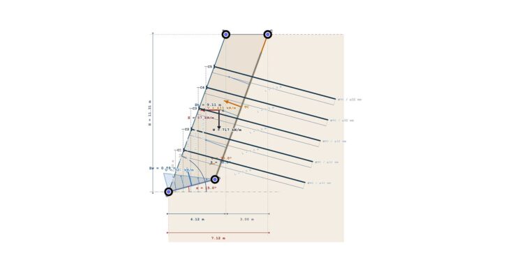
The calculation of slope stability is an essential operation for a proper analysis of rocky elements plan. To tackle modern geotechnical challenges, the RockPlane NX software stands out as the definitive solution to calculate the stability of these elements in both static and seismic conditions Geometric criteria in analysis of rocky elements RockPlane NX allows for…

gms nx geostru

Geomechanical survey: digital evolution with GMS NX

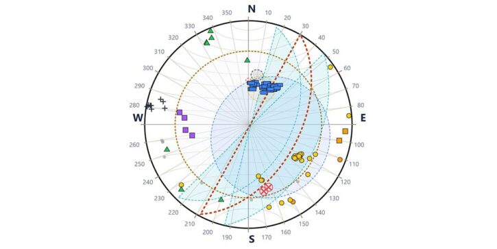
The geology and geotechnical engineering sector is undergoing a rapid digital transformation. Today, to optimize time and precision on site, we present GMS NX, the next generation of the geomechanical survey by GeoStru. This tool completely reimagines the professional’s workflow: your geomechanical survey goes directly from measurement with the compass on the rock face to…

Trispace NX Web CAD: AI and integrated topography

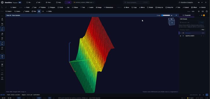
The world of design and surveying requires increasingly faster, integrated, and accessible tools. With this goal in mind, Trispace NX was born, the new 2D web CAD of the GeoStru NX suite. Specifically designed for the needs of engineers, architects, agronomists, surveyors, and geologists, this software redefines the concept of technical drawing by combining the…

liquefaction analysis with AI

Liquefaction analysis with AI: GeoStru LiquiTer NX

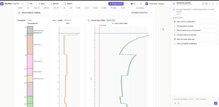
In modern geotechnical practice, analyzing soil susceptibility under seismic conditions requires increasingly rapid, precise, and rigorous tools. GeoStru LiquiTer NX represents the vanguard in this sector: an advanced web software designed to automate liquefaction analysis with AI starting from in-situ tests such as SPT, CPT, CPTU, CPTE, and Vs. In this article, we explore the…

Geotechnical cloud: application example

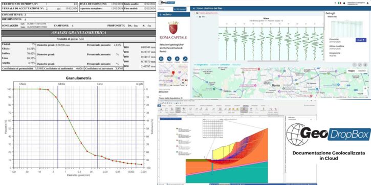
Addressing the stabilization of a hydrogeological instability that threatens a main road requires extremely fast reaction times and the use of an advanced geotechnical cloud. In a recent operation to secure a rotational landslide, the design team faced a critical obstacle: the fragmentation of the information flow. Geologists were busy at the landslide site performing…

bep bim geostru

BEP: BIM Execution Plan

The BEP (BIM Execution Plan) is a fundamental document in the design, construction, and management of projects using the BIM (Building Information Modeling) methodology. It is an operational guide that defines how BIM should be used in a specific project and ensures that all involved parties collaborate effectively and in a coordinated manner. A Bit…

building smart ids

IDS BIM – Information Delivery Specification

BIM (Building Information Modeling) refers to the entire process of planning, creating, and optimizing constructions and infrastructures using various software tools. The geometric model (the 3D rendering of the infrastructure) is accompanied by data for each individual component: properties and characteristics that follow a standardized format, allowing software to correctly interpret the information related to…

lod loin bim geostru

LOD and LOIN in BIM

Among the various requirements and details needed—following the IDS and BEP—there is the LOD, an acronym for “Level of Definition” in the UK architectural model from PAS 1192, or “Level of Development” of an element in a BIM model, considering the American model. This variation in terms arises because the American model prefers the concept…

embankments settlements loadcap geostru

Road and rail embankments: new features introduced in GeoStru Loadcap

The design of earthworks, i.e. structures built using loose soil, has as its main objective the creation of constructions that remain stable over time, guaranteeing adequate safety margins. The performance required varies according to the type of work: for example, for an earthen dam or a river embankment it is essential to ensure hydraulic impermeability,…