


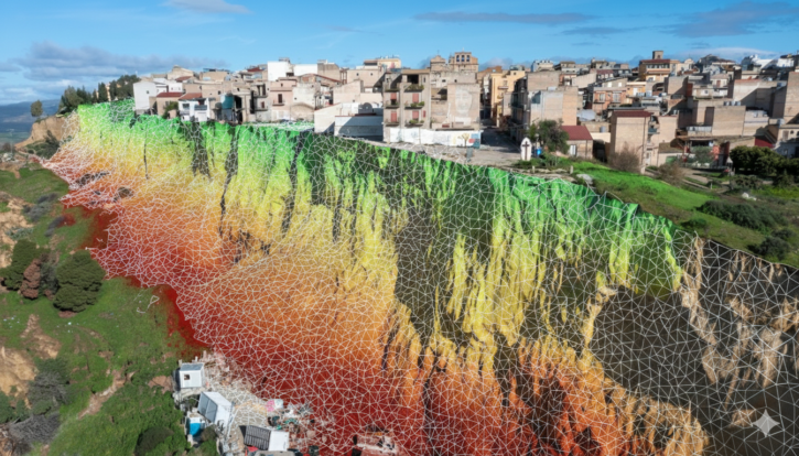
The Niscemi landslide: hydrogeological risk analysis and advanced tools for slope stability
Case study • Hydrogeological instability The Niscemi landslide: from mapped risk to 3D modelling and stability analyses An integrated approach: GeoRisk for hazard, GeoStru Maps for the three-dimensional reconstruction, Slope (LEM+DEM) for 2D/3D stability and Debris Flow for rapid phenomena. Why this event matters The Niscemi landslide shows how much risk management requires tools able…