Earth Pillars
Washout erosion
The slopes can be subject to important washout processes beacuse of rainfall. For example:
– Splash erosion;
– Sheet erosion;
– Rill erosion;
– Gully erosion;
– etc.
These processes are responsible of the erosion of considerable quantities of sediment which leads to the definition of the phenomenon of denudation of the slopes (Fig.1).

Fig. 1 – Denudation phenomena due to washout erosion in Belvedere M.mo (CS), Italy.
The morphogenetic processes, the entity of sliding and the slope modeling are influenced by the following processes:
– climate;
– running water;
– gravity;
– characteristics of the soil / rock on the surface (lithology; particle size, cohesion, degree of cementation; permeability);
– topography and morphology of the slopes;
– human influence
Pyramids or Earth pillars
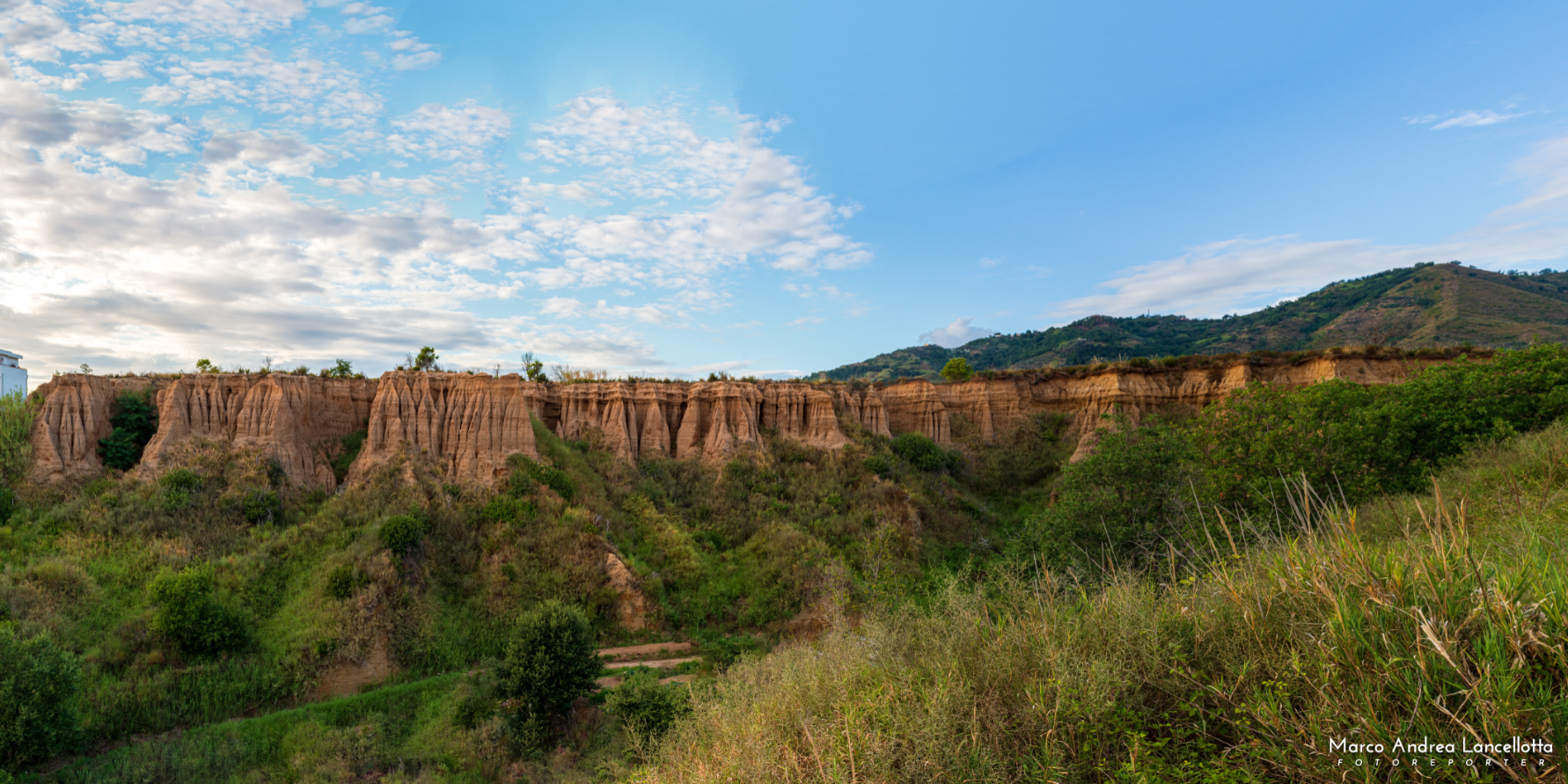
Among the erosive forms linked to run-off waters there are the “Earth Pyramids” or “Earth pillars”. They consist of detrital rocks made up of lithoid blocks with fine sediment matrix. Therefore these formations consist of a vast granulometric and lithological heterogeneity, eg. gravel, sand, silt and clay (Fig.2).

Fig. 2 – Earth pillars of Belvedere M.mo (CS), Italy. Note the granulometric heterogeneity.
How are they generated?
When the waters flow into the ground, they easily erode the fine sediment without bringing any particular effect to the lithoid blocks (which are competent and resistant to erosion). In fact, these blocks are able to protect the finer sediment below (acting as a real umbrella) while the surrounding one is washed away and eroded. The prolongation and repetition of the washout processes will lead to the formation of numerous “pillars” of fine material. At the top of these will be pebbles and blocks called cap-stone (Fig.3).

Fig. 3 – “Organ pipe” erosion in loc. Santa Litterata, Belvedere M.mo (CS). Note the protective cap-stone on top.
Landslides
These erosive morphologies are ephemeral because they can undergo deformation by the waters: the fine matrix that supports the coarse blocks is gradually removed. Therefore the pyramids / pillars, gradually thinning they will no longer be able to support the protective cap above and consequently they will collapse (Fig.4).

Fig. 4 – Landslides covered by vegetation along the strongly engraved sandy-conglomerate terraces, at Belvedere M.mo (CS), Italy.
Geotechnical aspects
The instability phenomena that occur in these deposits are strongly conditioned by the physical-mechanical characteristics and permeability. In particular, it is possible to outline the main characteristics for the two main components that characterize these forms of erosion:
– fine component: low permeability, high plasticity of the soil with an increase in water content, reduction of mechanical strength. These conditions favor the runoff of water and therefore erosion.
– coarse component: with medium-high permeability, reduces the plasticity of the soil, increases mechanical resistance. Therefore, if the permeability is high, the phenomenon of water infiltration is favored and the erosive action is reduced.
The combination of these characteristics involves the removal of the fine non-lithified granulometric component by the “wild” action of surface runoff waters.
Software and Geoapp
Considering these scenarios it is important to accurately assess the degree of stability of the slope through specific software such as:
-
-
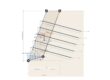
Slope – Slope stability: software that allows to verify the stability of soil or rock slopes with the traditional geotechnical methods (Limit equilibrium), and the Discrete Element method with which it is possible to know the displacements of the slope and examine the progressive rupture. In seismic conditions it performs both static and dynamic analysis.
-
The reliability of the data obtained from the stability program depends substantially on the accuracy of the characteristic parameters of the soils involved. Therefore, to better define an accurate stability check it is necessary to perform geotechnical tests aimed at knowing the physical-mechanical characteristics of the lithotypes involved.
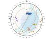
On the Geoapp web page (service available for making online calculations) there are apps that can be used for the above topic, for example:
References and Acknowledgments
Fairbridge R.W. (1968) – Earth pillars or pyramids. In: Geomorphology. Encyclopedia of Earth Science. Springer, Berlin, Heidelberg.
Fairbridge R.W. (1968) Denudation. In: Geomorphology. Encyclopedia of Earth Science. Springer, Berlin, Heidelberg.
Gutiérrez F., Gutiérrez M., Martín-Serrano Á. (2014) The Geology and Geomorphology of Spain: A Concise Introduction. In: Gutiérrez F., Gutiérrez M. (eds) Landscapes and Landforms of Spain. World Geomorphological Landscapes. Springer, Dordrecht.
We are thankful to photographers C. Grosso Ciponte and M.A. Lancellotta for the beautiful pics showed in this article.